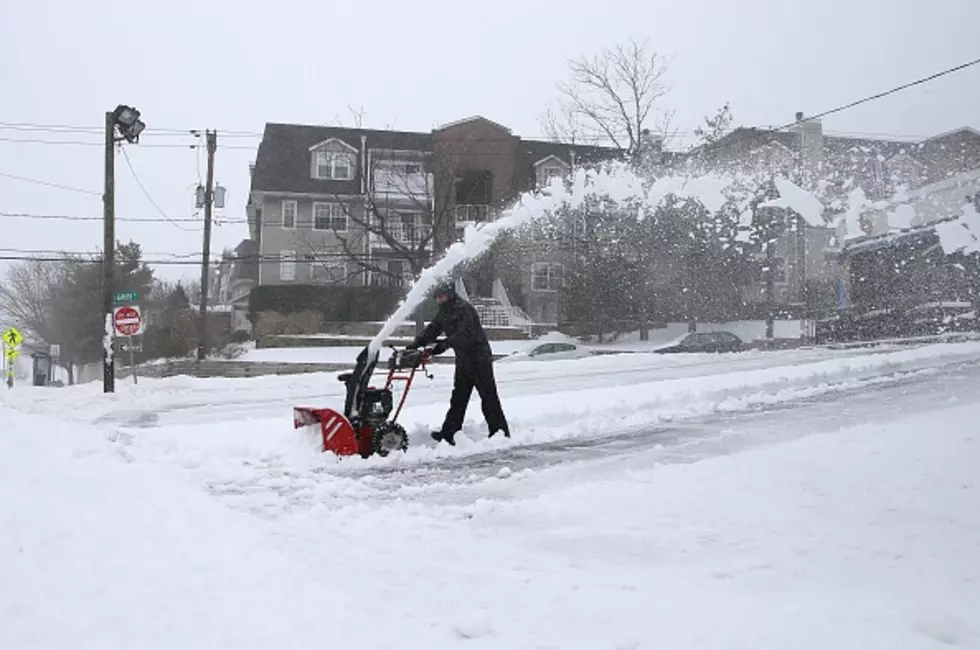
Wet Winter Storm Targets Michigan
Several new reports indicate Michigan could get socked with a mid-April winter blast of heavy wet snow. In fact some areas could see conditions that are downright dangerous. A host of models are indicating the storm could generate 10 inches of the extremely heavy snow beginning as early as late Wednesday night and continuing through Friday morning.
This is the kind of storm that can do real damage to trees and power lines. It could be exceptionally hard on poles and trees that took a pounding from the recent windstorm that left hundreds of thousands in the dark for days. So get ready.
The path of the storm could extend from the Indiana line almost to The Bridge but forecasters are warning it could be exceptional in concentrated areas. So look for areas from Lansing to Mount Pleasant to get smacked extra hard. No, this is not a late April Fools joke. It is the cruel truth of a Great Lakes spring.
More From 1240 WJIM AM


