2000 Without Power and Possibility of More Thunderstorms Coming
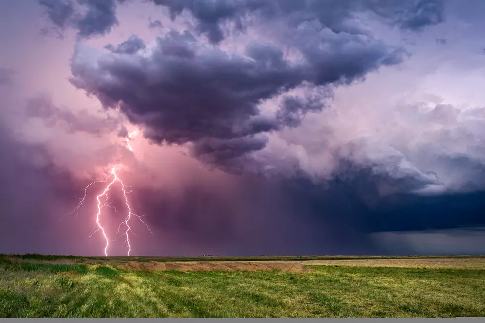
Summer Thunderstorms came barreling through Michigan this morning, knocking out power and bringing down tree limbs. As of this morning there are 1877 customers without power from 67 outages, Consumers energy reports. Genesee county took the brunt of it with 553 customers affected. Midland county was the second largest number of outages, with others in Saginaw county, Bay county, Clare county and Ionia county. Consumers Energy says they have 66 crews out now working on the outages for their customers. We are looking at the chance of severe thunderstorms in Michigan three days in a row, this morning was round one, with another possibility of thunderstorms this afternoon or evening.
MLive reports The zone for thunderstorms, any of which can be severe, will run across the southern half of Lower Michigan Thursday into early Friday morning. This period looks quiet, but it is a pattern where a fast-moving line of storms can develop quickly. The period of Friday morning to Saturday morning carries the highest chance of severe thunderstorms. Friday night and early Saturday morning is when the largest wind energy burst comes through southern Lower Michigan. This tends to make a fast-moving line of severe storms.
This is a weather pattern that produces quick lines of thunderstorms. It is not going to get to everyone, but you should keep an eye on the weather every six hours or so just to keep up with changing patterns and see what is developing. Keep in mind Thunderstorms can spawn tornadoes. If you have a weather radio keep it close by the rest of the week.

SEE MORE: 10 Signs To Look For When Watching For A Tornado
More From 1240 WJIM AM


