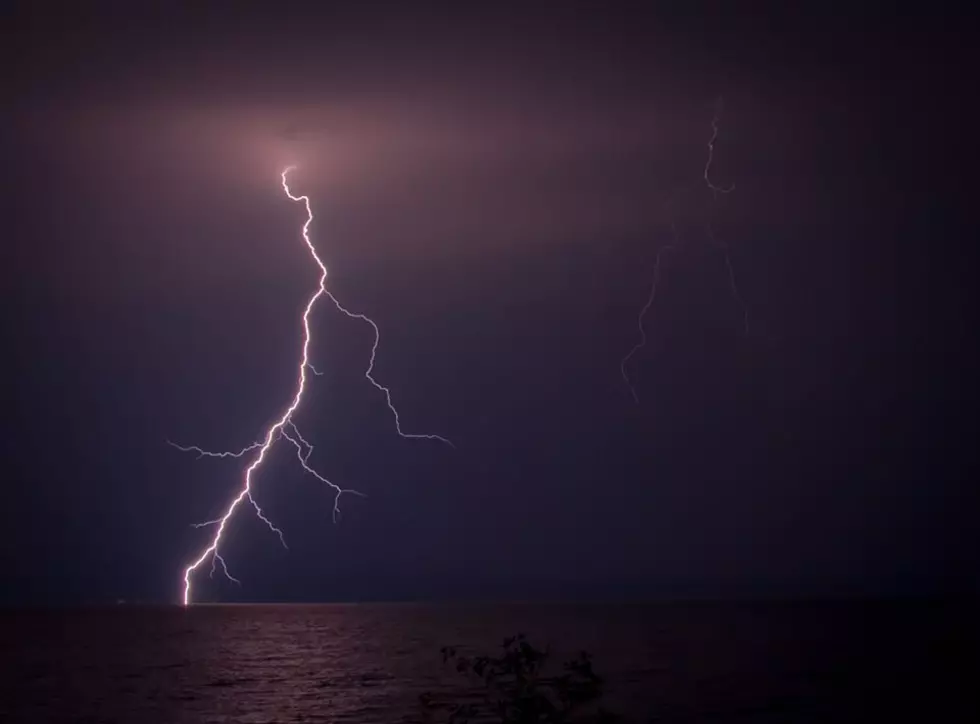
Cool West Michigan Lightning Show Visible from 60 Miles Away
If you were out driving around on Tuesday evening, September 20, 2022, at about 9 pm, you probably saw an incredible light show from the thunderstorms that had passed through the West Michigan area.
The storms moved through the Grand Rapids area a little earlier in the evening, however they were producing a lot of lightning. As the storms continued to move eastward across the state of Michigan, they continued to produce lightning and it was visible from 60 miles away!
Here is what the radar looked like at about the same time. As you can see, the storms are just east of the Portland and Grand Ledge areas...
There were also reports of hail with this storm. Here is the US National Weather Service Grand Rapids Michigan Facebook post on the storm...
I was able to grab a couple of pictures with my smartphone from my home in northern Kent County...
Being the weather geek that I am, I find it very interesting when we can see lightning and cloud tops from thunderstorms that are over 50 miles away from us!
That storm was followed up with some severe storms that rolled through West Michigan on Wednesday morning, bringing along with it severe weather warnings, heavy rain, and once again some hail.
KEEP READING: Get answers to 51 of the most frequently asked weather questions...
More From 1240 WJIM AM


